


Kolkata, June 28, 2026
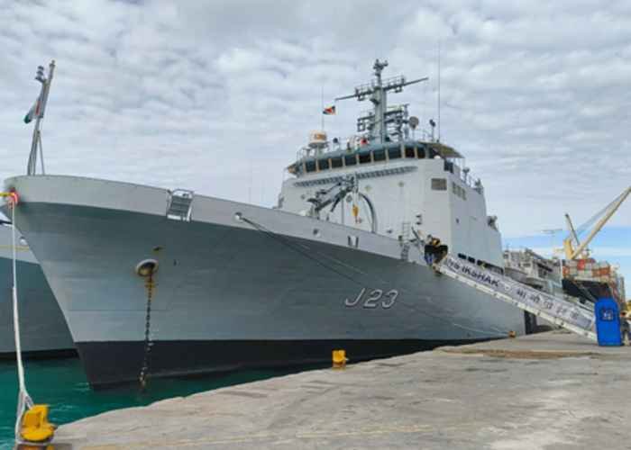
Will the INS Ikshak carry out hydrographic survey along the coast of the Seychelles during its present visit to the country?
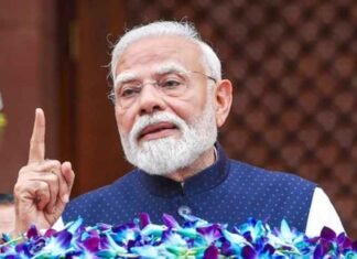
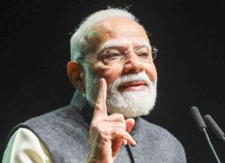
The visit by the Survey Vessel Large (SVL) coincides with Prime Minister Narendra Modi’s visit to the country.
While much details about the ship’s port call at Victoria have not been revealed, it has been said that INS Ikshak is on operational deployment and will engage in a series of professional interactions with the Seychelles Defence Forces aimed at enhancing maritime cooperation and interoperability.
Few navies in the region have advanced platforms like the INS Ikshak.
Many countries have, in the past, have signed Memorandums of Understanding with India for joint surveys of their coastlines.
The INS Ikshak is third in a series of Sandhayak-class of SVLs built by Garden Reach Shipbuilders and Engineers (GRSE) Limited in Kolkata.
The three other ships of the series are INS Sandhayak, INS Nirdeshak and INS Sanshodhak.
The GRSE had built a series of Sandhayak-class survey vessels in the past.
Two ships of that series were named INS Sandhayak and INS Nirdeshak.
The old INS Nirdeshak that was decommissioned by the Indian Navy in 2014, did perform a hydrographic survey off the coast of Seychelles, around Praslin and Mahe.
It also surveyed the approaches to the Port of Victoria.
It has been mentioned by the Navy that INS Ikshak’s deployment “reaffirms India’s commitment to strengthening maritime partnerships with friendly nations and advancing peace, security, and stability in the Indian Ocean Region”.
Prime Minister Narendra Modi had also spoken about his Mutual and Holistic Advancement for Security and Growth Across Regions (MAHASAGAR) vision ahead of his three-day visit to the Seychelles.
The INS Ikshak’s visit is also aimed at showcasing India’s capability to build advanced and specialised warships.
The ship has an extensive array of scanners and sensors on board to allow it to map the seabed accurately.
India has made it clear that it doesn’t have any hesitation in sharing such maps and charts with friendly foreign nations to enable better navigation.(Agency)
 FOLLOW NOW