

New Delhi, September 6, 2026 (Yes Punjab News)
India on Sunday backed a United Nations General Assembly (UNGA) resolution promoting the use of equal-area world map projections, while making it clear that its sovereign territory, including the Union Territories of Jammu and Kashmir and Ladakh, must be depicted in accordance with India’s official map.
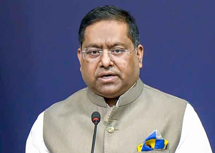
Responding to media queries, Ministry of External Affairs (MEA) spokesperson Randhir Jaiswal said the UNGA had adopted the resolution titled “Correct the Map: Rebalancing Global Cartographic Representation and Promoting Equitable Representation of the World’s Regions, Particularly Africa” on September 4.
He said the resolution seeks to encourage map projections that preserve the relative sizes of continental landmasses. It does not endorse or authenticate any particular world map and does not deal with political cartography, including international boundaries, disputed territories or place names.
Jaiswal said India voted in favour of the resolution after explaining that its support was based on the principle of equitable area-based cartographic representation and should not be interpreted as endorsement of any particular map projection or depiction of national boundaries.
“India’s sovereign territory, including the Union Territories of Jammu and Kashmir and Ladakh, must be depicted in accordance with India’s official map. Any inaccurate or misleading depiction is unacceptable. Our position on India’s sovereignty and territorial integrity is clear, consistent and non-negotiable,” he said.
The resolution was adopted by the 193-member UNGA with 164 votes in favour. Estonia, Georgia, Lithuania, Moldova, Serbia and Ukraine abstained, while the US voted against it.
The measure does not prohibit the Mercator projection, which has been widely used since the 16th century. Instead, it encourages governments, educational institutions, international organisations and technology companies to use equal-area projections such as Equal Earth when accurate comparisons of continental size are important.
The resolution also calls for greater awareness of the limitations of representing the spherical Earth on flat maps.
 FOLLOW NOW